


 3 / 71

2
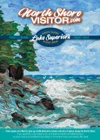
NorthShoreVisitor.com
NORTH SHORE
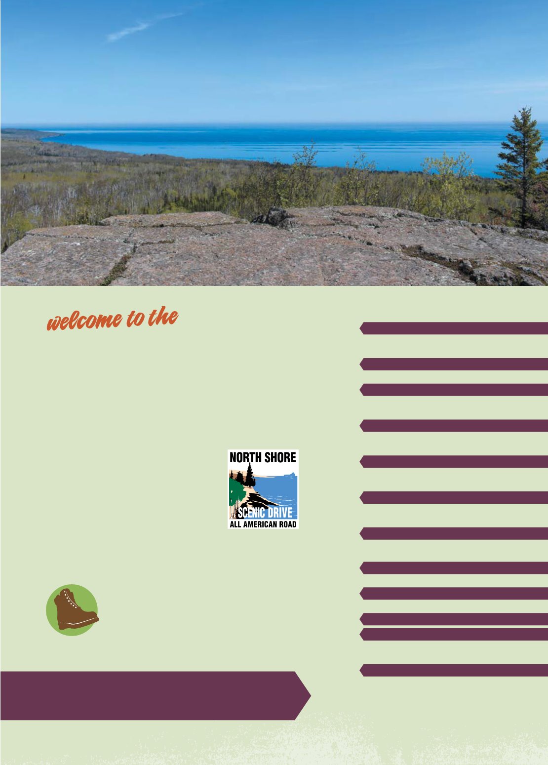
This is an amazing place to live and to visit. I hope this booklet helps you plan, explore and appreciate your visit to this section of the North Shore of Lake Superior. Each section includes a handy map of the area with mile-by-mile features, some recommendations of what to do, and a bit of commentary. A fold-out map of the entire route is inside the back cover and a helpful Lodging Guide is located at the end of the booklet. ROAD LESS TRAVELLED – watch for this symbol a dozen times throughout the booklet, perfect for frequent visitors and those who prefer a quieter trip.3
0.0 DULUTH
4 DULUTH & SCENIC HIGHWAY 61
6 I SAY EAST, YOU SAY NORTH
9
25.0 TWO HARBORS
13 SPRING WATERFALL TOUR
15
39.5 GOOSEBERRY FALLS
16 CASTLE DANGER
17 BIKING & FISHING
19
46.0 SPLIT ROCK LIGHTHOUSE
20 BEAVER BAY
21 ACCESS TO THE BIG LAKE
23
53.7 SILVER BAY
24 SILVER BAY, LITTLE MARAIS & FINLAND
25 HIKING
27
78.7 SCHOEDER
29 SUMMER
30 RAINY DAY IDEAS
31
82.4 TOFTE
35 LAKE SUPERIOR FACTS &
SUPERIOR NATIONAL FOREST
37
86.1 LUTSEN
43 FALL COLORS
45
108.5 GRAND MARAIS
51 ARTS ON THE SHORE
53
110.0+ GUNFLINT TRAIL
55
112.5 - 145.0
55 NORTHEAST TO THE BORDER
56 GRAND PORTAGE
57
151.0 CANADA
59 WINTER
61 LODGING GUIDE
65 STATE PARKS
66 NORTH SHORE MAP
MILE MARKER DISTANCES ARE FROM
[0.0] CANAL PARK IN DULUTH
PAGE
For specific details, trail maps, calendar of events and such, visit NorthShoreVisitor.com or stop by a Visitor Center, located in each town.