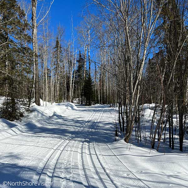
cross country skiing
47K of intertwined series of loops provides plenty of skiing variety in a wonderful near wilderness setting. The easiest trails are near the lodges, which also offer short, lit loops; lots of easy to intermediate trails across the Gunflint Trail, through moose yards and the surrounding forested hills; more experienced skiers will like the South Rim trail and Highlands trail with Wipeout Hill, a big S-curve descending 120 feet to the Cross River.
snowshoeing
One of the best trail networks on the entire shore! The there-and-back 1-mile Lonely Lake trail is easy leading to the shores of the lake and offers an easy 0.7-mile spur to a loop overlook of Gunflint and Magnetic Lakes. The Hidden Trail is a moderate there-and-back [but a loop once everything freezes up] trail and for those looking for a challenge can follow the Lost Cliffs trail [yes, cliffs, think steep] which connects to the High Cliffs trail which climbs almost 400-feet in 0.75 miles ton overlook of Gunflint and Magnetic Lakes; ** note modern snowshoes with crampons/traction devices and poles are highly recommended.
fat bike trails
Ride trails, make your own and ride on the frozen lake. Gunflint Lodge even rents electric fat bikes, which makes for a fun ride. Try it out


