Learn everything you need to know about North Shore Minnesota so your trip is the most memorable it can possibly be! Here’s the ultimate guide to the North Shore.
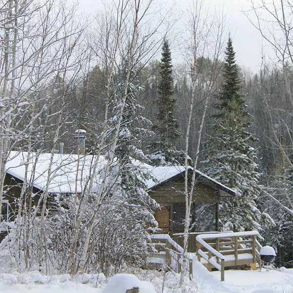
Breathtaking beauty is never far away when you’re on the North Shore MN!
Even with extraordinary hiking trails, the shore of Lake Superior, and untamed nature at every turn, you still need an amazing guide!
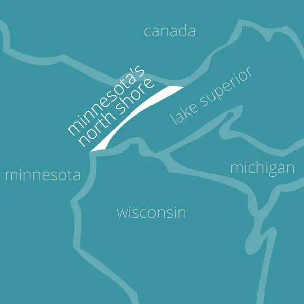
Explore the North Shore of Minnesota with North Shore Visitor.
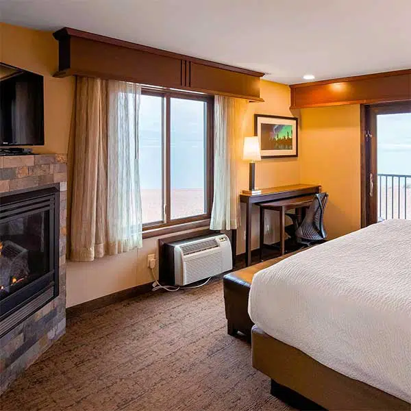
This is THE GUIDE to North Shore lodging, shopping, dining, activities, attractions, maps, things to do and events for Minnesota’s North Shore of Lake Superior.
“best north shore website”
-National Geographic Traveler
everything you need to know about minnesota’s north shore
Whether you’re a first time visitor or a seasoned North Shore traveler, there’s always more to learn. North Shore Visitor has been the go-to source of information about this incredible region for over 20 years and has helped endless people discover everything this gem has to offer.
We’ve put together helpful guides to make sure your North Shore MN vacation is one you’ll remember forever, check them out!
Take the time to relax, breathe in the scenery and check out the incredible sights on and around the North Shore of Lake Superior MN:
Gooseberry Falls State Park
Split Rock Lighthouse
Aerial Lift Bridge
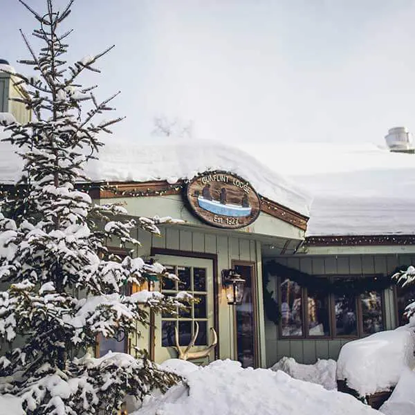
Gunflint Trail
Palisade Head
Lutsen MN
Grand Marais MN
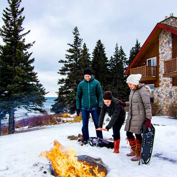
Lake Superior
Two Harbors MN
And much more!
Get updates and images on Facebook – follow North Shore Visitor’s socials to stay in the loop for all the latest events!
Be flexible, don’t litter and remember … you don’t have to hurry up to slow down
Get updates, photos, & recommendations in my monthly e-Newsletter!
we know you’ll love north shore as much as we do!
North Shore has it all!
From the best state parks to one of the most beautiful lakes in the world, you’re guaranteed great views and a friendly welcome. And, whenever you have a question or need a recommendation, North Shore Visitor is your go-to guide.